The seventies in Port Melbourne
The Victorian Government, as part of the Big Housing Build, intends to demolish the Barak/Beacon Rd/Boulevard public housing estate and replace it with updated housing using a ground lease model.
When was the estate completed? What was the context of its construction?
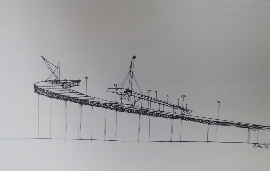
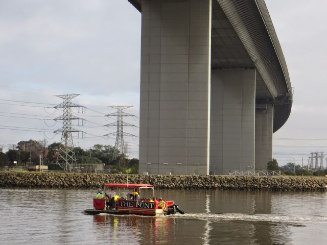
A 1975 report1 commissioned by the Hamer government lists the many, and major, initiatives underway in Port and South Melbourne at that time with a view to better coordinating them. They included the completion of the Westgate Bridge, building the access and approach roads to it, finding a rail link from Webb Dock to the rail network, creating new housing at Barak/Beacon Rd, constructing the Johnson Bridge (later the Charles Grimes Bridge), and the World Trade Centre.
No further web resources appearing to be available I returned to the Public Record Office (PROV) for the first time since January 2020 when a smoke pall hung over the Moonee Ponds Creek.
The reading rooms at PROV are formal and quiet. You feel the weight of history combined with the excitement and anticipation of discovery. It is not so much what you are looking for, as what reveals itself to you. While Trove makes it easy for the researcher to go directly to the object of inquiry, unexplored boxes at PROV yield surprises.
I was presented with a substantial box yielded by a search for “beacon” and “Port Melbourne”. File after file of planning applications for factories to the Department of Lands – from Thomastown to Mordialloc. Just before closing the box, I found the object of interest: an approved planning application by BP for a coal research laboratory on Beacon Road. In 1976!
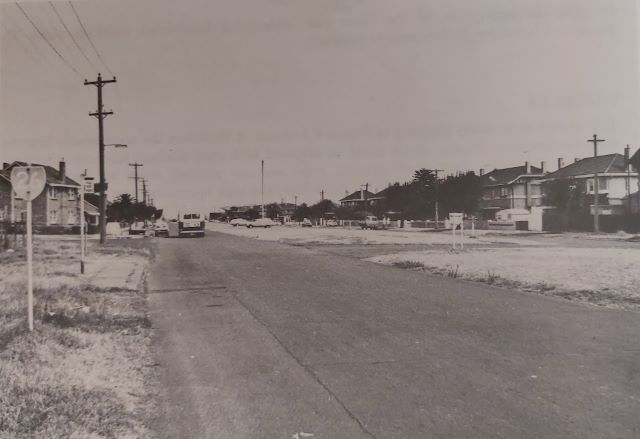
The site for the future housing estate, formerly sheds built by the US Army during the war, was purchased by the Housing Commission in 1974. The project didn’t get underway immediately. The Melbourne Harbor Trust2 had commissioned the University of Melbourne to conduct a social and environmental impact study of its proposal to run a rail freight rail line along The Boulevard from Webb Dock to connect with the railway network at Princes and Station Piers.
An earlier route for the rail freight line along Howe Parade had actually been included in the River Entrance Docks Railway Construction Act 1970. The railway had gone into detailed design in anticipation of increased rail traffic from Webb Dock in 1974.
Both The Boulevard and Howe Parade routes were eventually abandoned, and the rail route through what was to become Westgate Park and Lorimer Street was approved and constructed in the early 1980s.
The Beacon/Barak/Boulevard estate was formally opened in 1982 by Ian Cathie, the Minister for Housing in the Cain Labor government.
Five years later, in 1987, the site between Port Melbourne’s piers was set to be re-developed. BP sold the site to the government. Residents of the Barak/Beacon estate witnessed the removal of the BP storage tanks, the remediation of the site and the construction of Beacon Cove.
While housing and communities have been created in fifty years, the conundrum identified in the many investigations and reports remains – connecting Webb Dock by rail to the rest of the Port.
“Notwithstanding the advantages enumerated, Webb Dock suffered from the major drawback, still felt to this day of being …. Without the benefit of connection to the railway system”3
Get a feel for the 1970s, watch the ad Football, meatpies, kangaroos and Holden cars
1 Interim Report by Investigation Committee for Government Projects in the Port of Melbourne South Melbourne Area. (1975)
2 antecedent organisation to the Port of Melbourne
3 Ministry for Conservation Victoria Supplementary assessment of environmental effects of land transport alternatives for Webb Dock (1980)
Leave a Reply